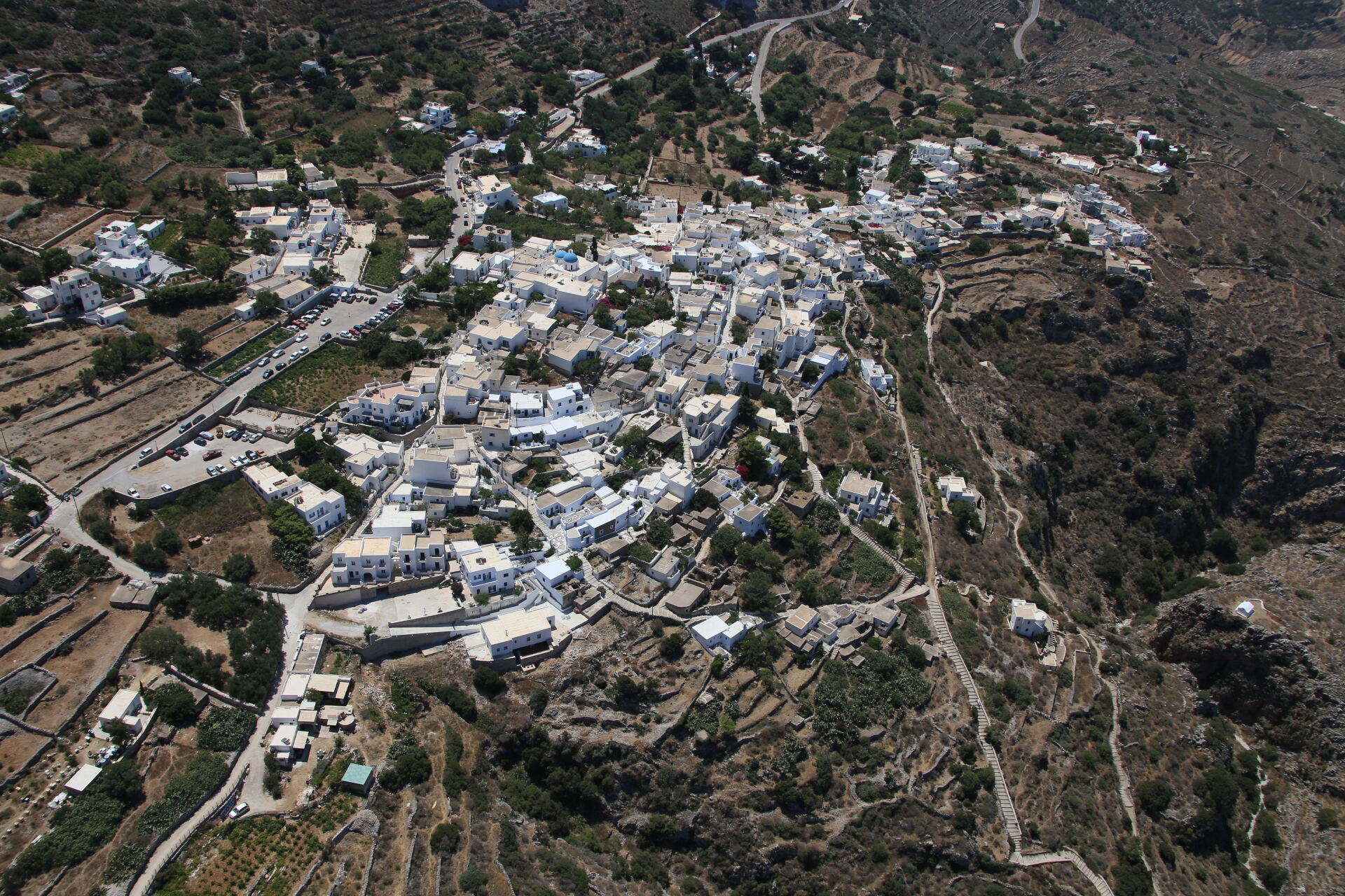
Overview map of all 10 trails
 1
1 Palia Strata — The Old Path
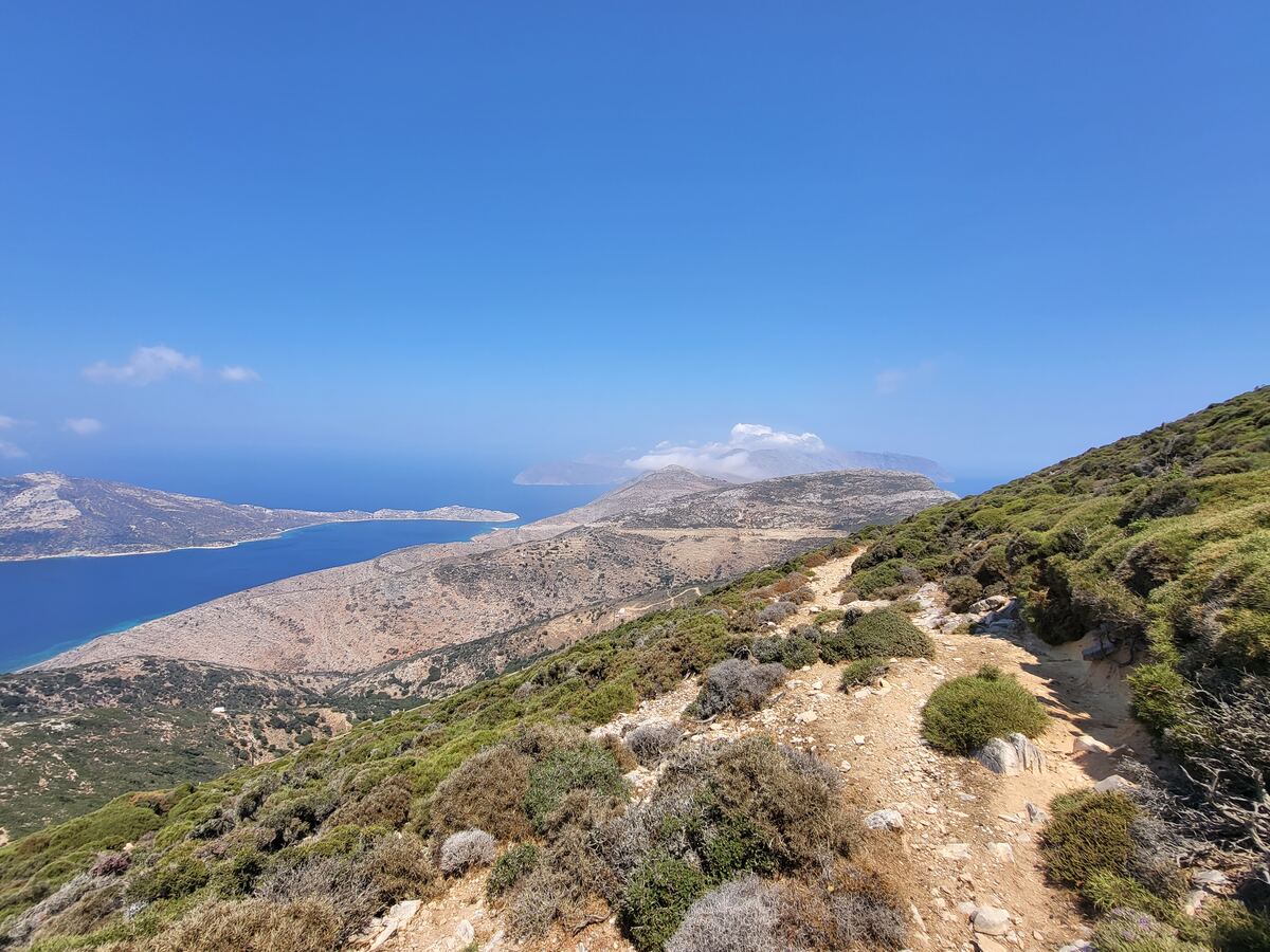
14.5 km · 4:45The northern crossing of the island along the ridge connecting Chora to Aegiali — the longest hiking route on Amorgos.
 1A
1A Chora — Profitis Ilias — Xenodochio
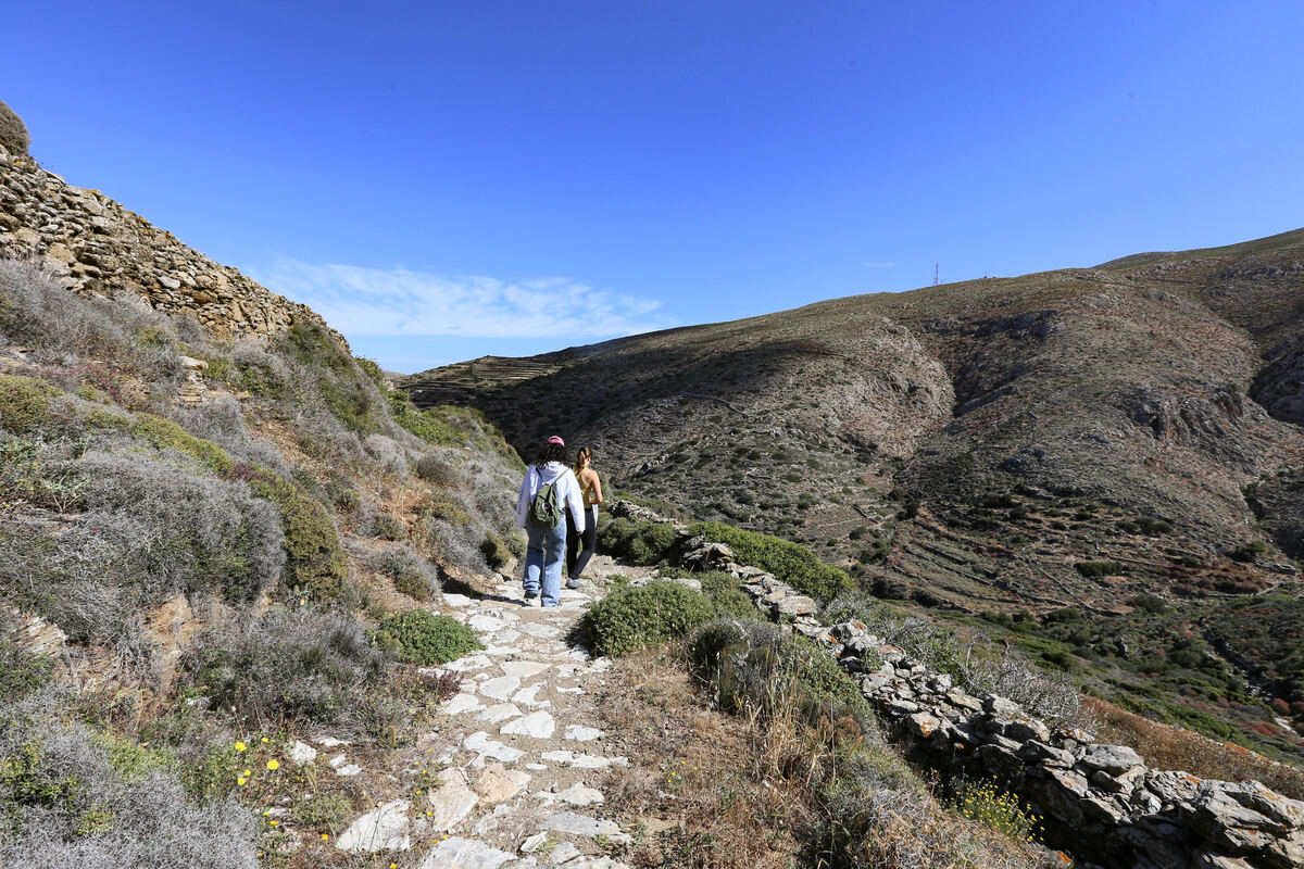
4.2 km · 1:40The old schoolchildren's path from Aegiali, climbing the bare, rocky slopes of Profitis Ilias.
 2
2 Fotodotis — Katapola to Chora
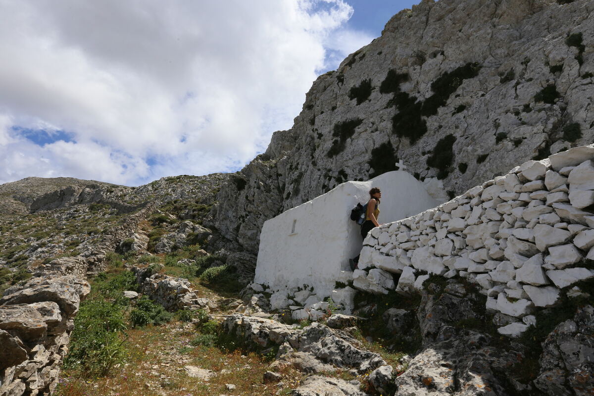
3.5 km · 1:00The historic monks' path linking the port of Katapola to Chora, past old fountains and an ancient chapel.
 3
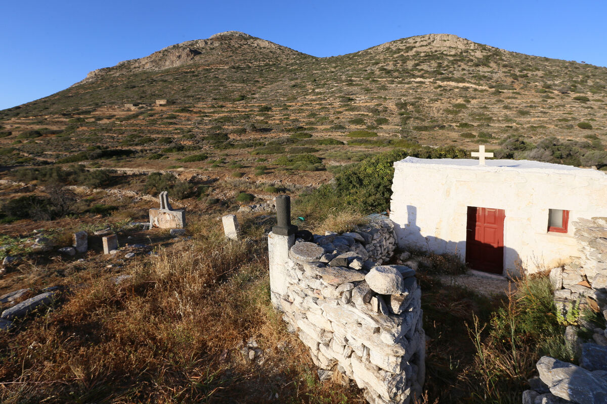
3 Itonia — Crossing western Amorgos
12.2 km · 3:50A long crossing of the western island, from Minoa to Katapola, past coves, an ancient necropolis, and acropolis ruins.
 4
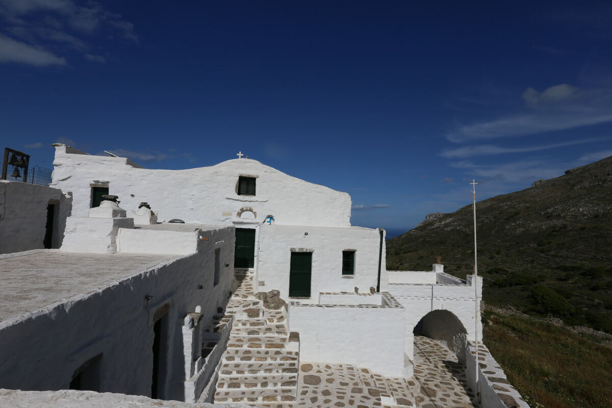
4 Melania — The Aegiali loop
6.8 km · 3:00A loop linking the villages of Aegiali, Lagkada, Stroumbos and Tholaria with the nearest points of historical interest.
 4A
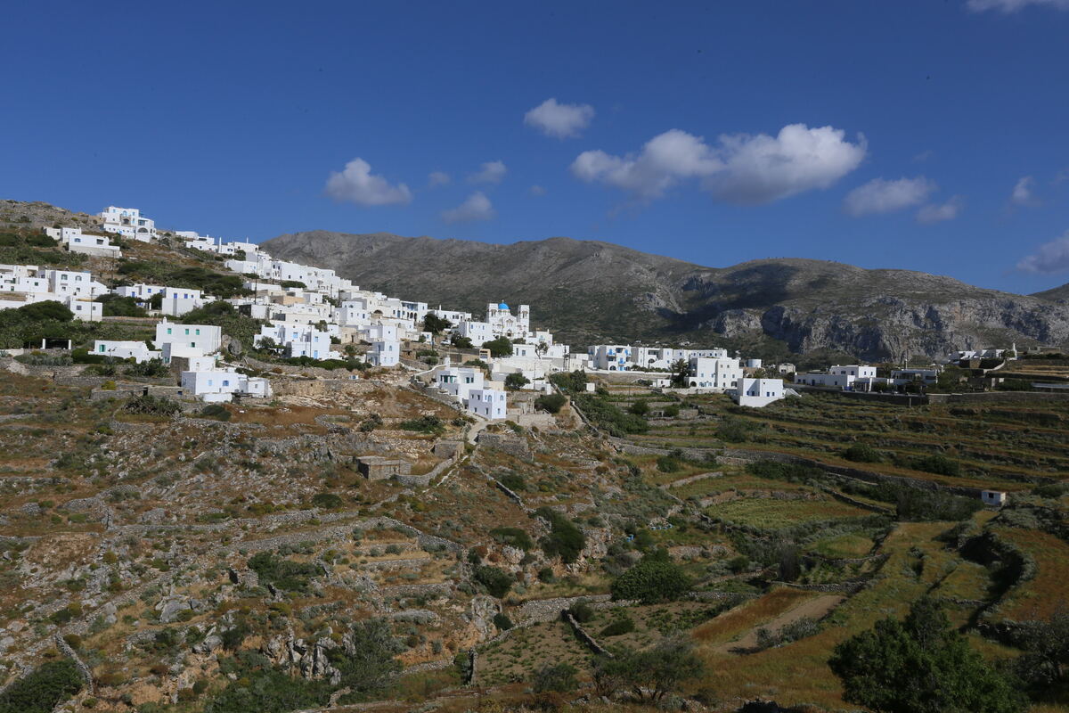
4A Tholaria — Vigla / Mikri Vlychada
1.7 km · 0:30A short route from Tholaria leading either to a hidden pebble beach or to the barely visible remains of ancient Aegiali.
 4B
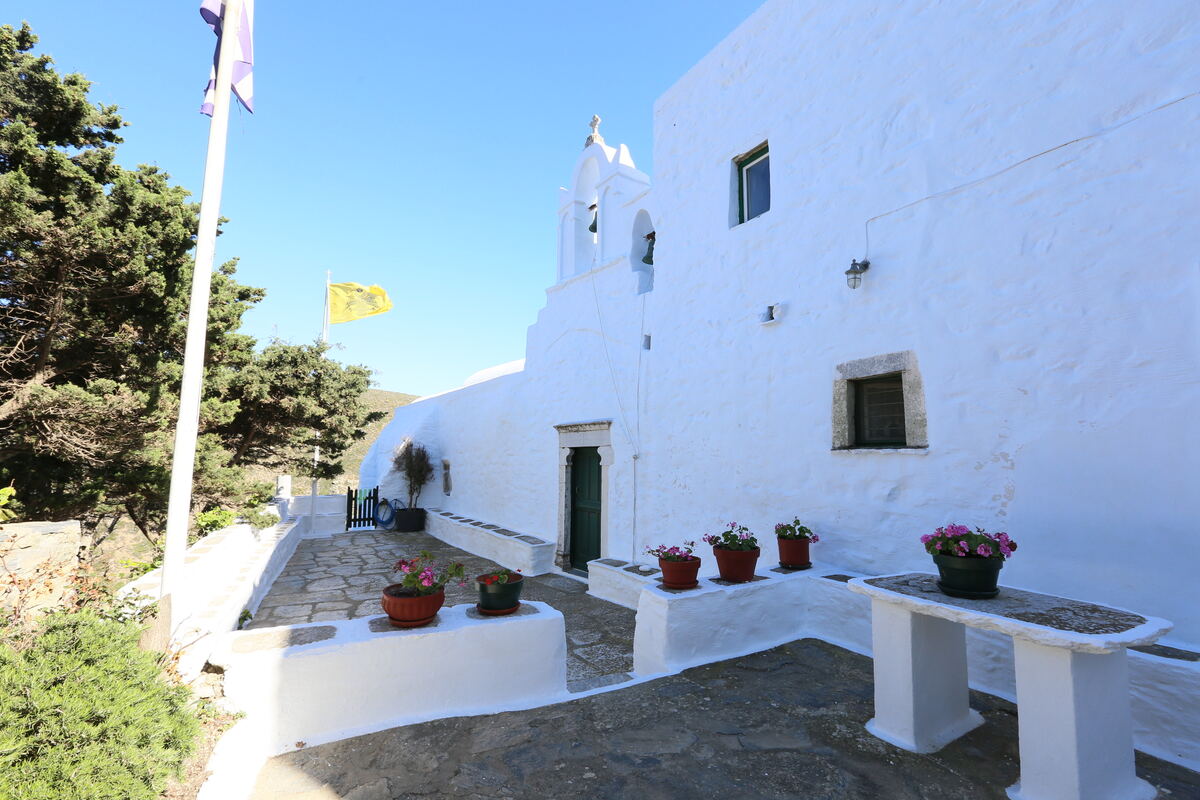
4B Fokiotrypa — Levrosos, Psili Ammos and Chochlakas beaches
1.4 km · 0:30A short, flat coastal walk along the north of Aegiali bay, between gardens and wild, exotic-looking beaches.
 6
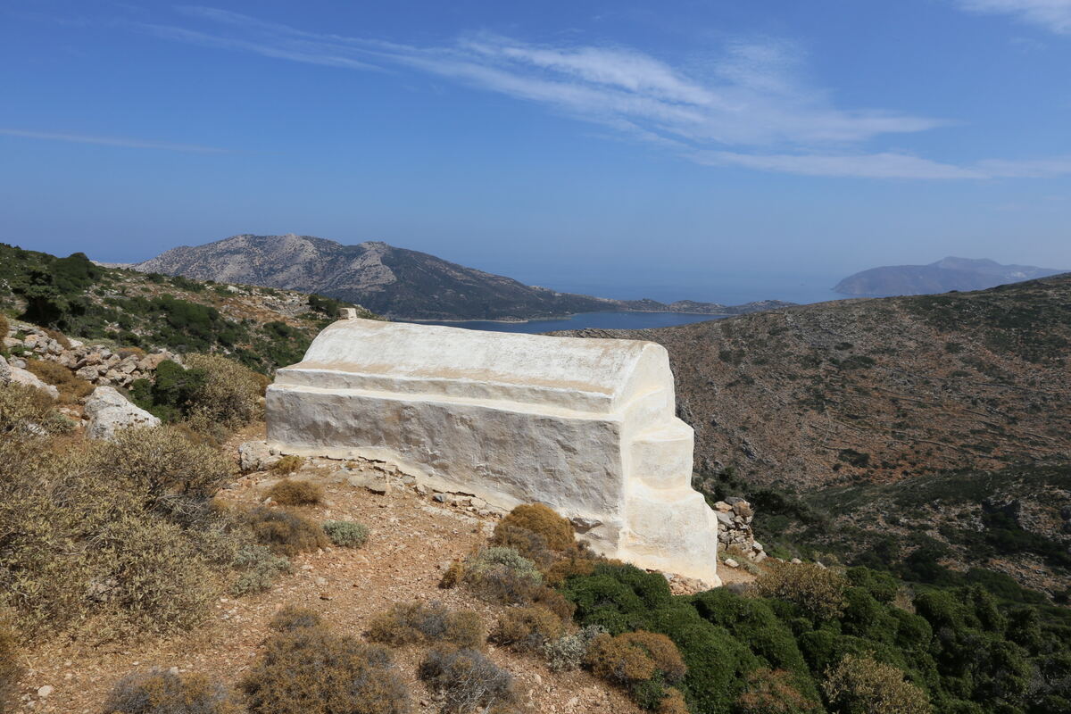
6 Valsamitis — The Katapola loop
6.5 km · 2:05A loop from Katapola to the Agios Georgios Valsamitis monastery, an ancient sanctuary with a spring oracle, via the site of Minoa.
 7
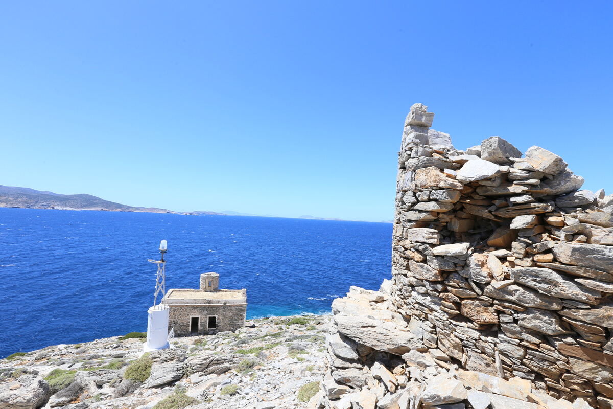
7 Evangelistria — The Xylokeratidi loop
3.7 km · 1:15A coastal loop north of Katapola leading to a rare Byzantine chapel, with sweeping views over the bay.
 9
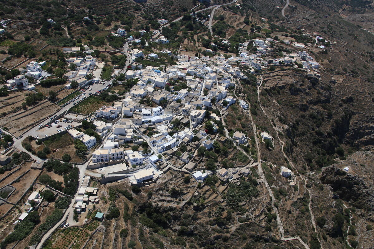
9 Machos — The windmills of Lagkada
4.5 km · 2:15A demanding loop from Lagkada up to the Machos ridge and its windmills, the highest in the Cyclades.